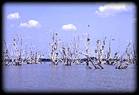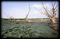
 The form of the recent image of the Tisza Lake is the result of a longer process, in which can be divided into more stages. All these had and have an effect on the current physiognomy of the landscape and natural conditions. The first stage (1973-78) is the stage of damming, when the maximum summer dammed water level was 86.83 m aB (above the Baltic Sea). Between 1978 and 1984 the secound stage realized with a maximum summer damming level of 88.33 m aB. In consequence of this water spaces differring sharply from each other in habit, hydrological and hydrobiological features have been created. Along the dammed Tisza these are the Tiszafüred and Tiszavalk basins, the Abádszalók bay, and in the line of the Lesser Tisza the Poroszló and the Sarud basins. This period is characterized by the formation of an aquatic environment. From 1984 the maximum dammed level is 88.58 m aB. The period between 1984 and 1989 is characterized by stabilization of the water ecosystem. Since 1990 the direction of changes shows towards benthonic eutrophization, i. e. towards the expansion of aquatic and paludal macrophyte vegetation. In consequence of this larger basins and bays differing in their hydrological features in advance have been further fragmented due to biotic environmental factors, creating that large scale mosaicity, which gives the present image.


© 1996-2001 TERRA Foundation for Nature Conservation and Education
Last update: Webmaster, 24th October, 2000